01 · Research
Searching all of Japan for undiscovered meteorite craters
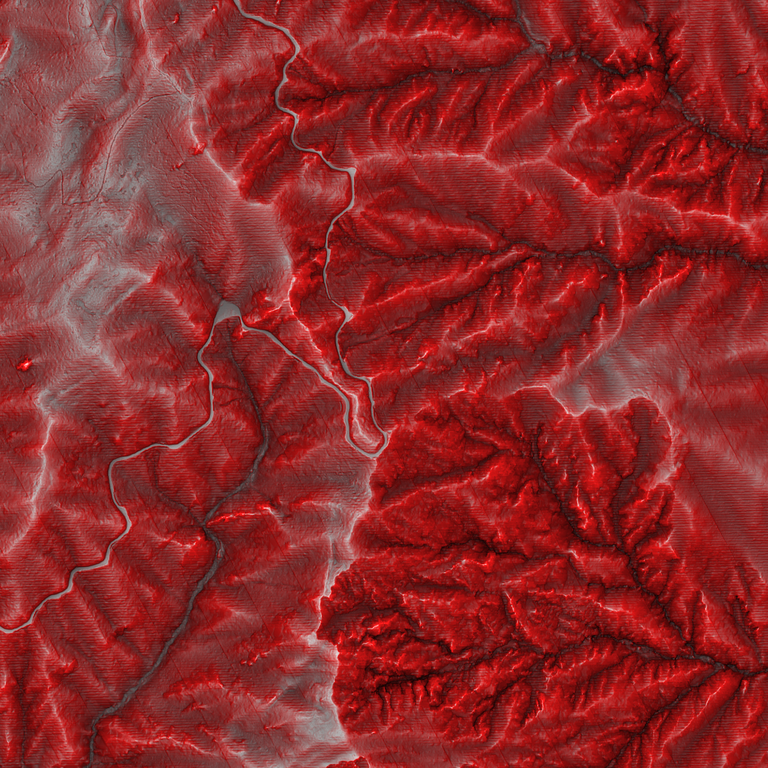
Building on the latest red relief image map of all of Japan, this research uses machine learning to train AI on the world's known impact structures, so that the AI can identify undiscovered meteorite craters across the terrain of the entire country. It works at a speed, and in a way, that checking by eye and overlaying data by hand cannot match.
In Japan, Oikeyama in Nagano Prefecture has been reported as a meteorite crater. The country's steep, forest-covered mountains are thought to hide craters that remain undiscovered. Identifying craters in imagery covering all of Japan requires advanced AI built on machine learning.
AI agents carried out preparation on a scale no human team could reach. The AI learns from the world's impact structures. We have compiled 354 of them, across 67 countries and regions, into a single inventory, and linked 2,011 papers to 240 of those structures. For 48 known craters, we have made red relief image maps from publicly available 1 m elevation data. We have also identified the calculation behind Japan's nationwide red relief image map down to its formulas and constants, and reproduced it at Oikeyama to within one colour level. This lets us compare terrain worldwide and in Japan by the same measure.
Beyond terrain, we assess the quality of Japan's nationwide gravity and airborne magnetic surveys against primary sources and the actual data. Candidates the AI puts forward are verified by our founder, a certified mineral appraiser and geology specialist, who examines the rocks in the field. The same method extends to terrain worldwide, to the surface of the Moon, and to the discovery of kofun burial mounds.
- 354
- impact structures worldwide in our inventory, across 67 countries and regions, including 226 confirmed sites
- 2,011
- papers linked to 240 structures in the inventory
- 48
- known craters made into red relief image maps from 1 m terrain data